-

Garmin
Garmin Mediterranean Sea, Southeast - Marine Charts
Garmin Mediterranean Sea, Southeast - Marine Charts Featuring vibrant colours, a streamlined interface and combined coastal/inland content with a popular Navionics® style colour palette, Garmin Navionics+ cartography makes it easy to plot your...
-

Garmin
Garmin Benelux & Germany, West - Marine Charts
Garmin Benelux & Germany, West - Marine Charts Featuring vibrant colours, a streamlined interface and combined coastal/inland content with a popular Navionics® style colour palette, Garmin Navionics+ cartography makes it easy to plot your course...
-
Garmin
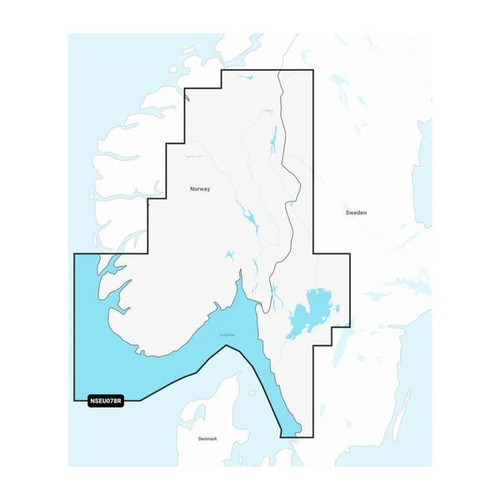
Garmin Oslo, Skagerrak & Haugesund - Marine Charts
Garmin Oslo, Skagerrak & Haugesund - Marine Charts Featuring vibrant colours, a streamlined interface and combined coastal/inland content with a popular Navionics® style colour palette, Garmin Navionics+ cartography makes it easy to plot your...
-

Garmin
Garmin Oslo to Trelleborg - Marine Charts
Garmin Oslo to Trelleborg - Marine Charts Featuring vibrant colours, a streamlined interface and combined coastal/inland content with a popular Navionics® style colour palette, Garmin Navionics+ cartography makes it easy to plot your course with the...
-

Garmin
Garmin Iceland to Orkney - Marine Charts
Garmin Iceland to Orkney - Marine Charts Featuring vibrant colours, a streamlined interface and combined coastal/inland content with a popular Navionics® style colour palette, Garmin Navionics+ cartography makes it easy to plot your course with the...
-
Garmin
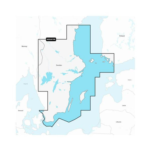
Garmin Sweden, Southeast - Marine Charts
Garmin Sweden, Southeast - Marine Charts Featuring vibrant colours, a streamlined interface and combined coastal/inland content with a popular Navionics® style colour palette, Garmin Navionics+ cartography makes it easy to plot your course with the...
-

Garmin
Garmin Gulf of Bothnia - Marine Charts
Garmin Gulf of Bothnia - Marine Charts Featuring vibrant colours, a streamlined interface and combined coastal/inland content with a popular Navionics® style colour palette, Garmin Navionics+ cartography makes it easy to plot your course with the...
-
Garmin
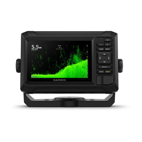
Garmin ECHOMAP UHD2 5" Chartplotter 55cv with GT20-TM Transducer & Garmin Navionics+ ANZ Maps
Garmin ECHOMAP UHD2 5" Chartplotter 55cv with GT20-TM Transducer & Garmin Navionics+ Australia NZ Maps They say locals know best. But anyone who says that hasn’t fished with the ECHOMAP UHD2 5″ and 7″ chartplotters with clear,...
-
Garmin
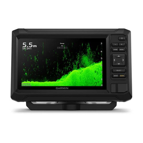
Garmin ECHOMAP UHD2 7" Chartplotter 75cv with GT20-TM Transducer and Garmin Navionics+ ANZ Maps
Garmin ECHOMAP UHD2 75cv with GT20-TM Transducer and Garmin Navionics+ Australia & New Zealand Mapping They say locals know best. But anyone who says that hasn’t fished with the ECHOMAP UHD2 5" and 7" chartplotters with clear, crisp...
-

Garmin
Garmin ECHOMAP UHD2 7" Chartplotter 75sv with GT54UHD-TM Transducer & Garmin Navionics+ ANZ Maps
Garmin ECHOMAP UHD2 7" Chartplotter 75sv with GT54UHD-TM Transducer & Garmin Navionics+ Australia & NZ Maps When it comes to catching more fish, they say, "Talk to a local." With the ECHOMAP UHD2 chartplotter, which offers Garmin's best-in-class...
-

Garmin
Garmin New Zealand - Marine Charts
Garmin New Zealand - Marine Charts Featuring vibrant colours, a streamlined interface and combined coastal/inland content with a popular Navionics® style colour palette, Garmin Navionics+ cartography makes it easy to plot your course with the...
-

Garmin
Garmin Navionics+ NSPC030R New Caledonia - Marine Charts - for Garmin Chartplotters
Garmin Navionics Vision+ NSPC030R New Caledonia - Marine Charts Featuring vibrant colours, a streamlined interface and combined coastal/inland content with a popular Navionics® style colour palette, Garmin Navionics+ cartography makes it easy to...
-

Garmin
Garmin Africa, Northwest - Marine Charts
Garmin Africa, Northwest - Marine Charts Featuring vibrant colours, a streamlined interface and combined coastal/inland content with a popular Navionics® style colour palette, Garmin Navionics+ cartography makes it easy to plot your course with the...
-

Garmin
Garmin Africa & Middle East - Marine Charts
Garmin Africa & Middle East - Marine Charts Featuring vibrant colours, a streamlined interface and combined coastal/inland content with a popular Navionics® style colour palette, Garmin Navionics+ cartography makes it easy to plot your course...
-

Garmin
Garmin The Gulf & Red Sea - Marine Charts
Garmin The Gulf & Red Sea - Marine Charts Featuring vibrant colours, a streamlined interface and combined coastal/inland content with a popular Navionics® style colour palette, Garmin Navionics+ cartography makes it easy to plot your course with...
-

Garmin
Garmin Indian Subcontinent - Marine Charts
Garmin Indian Subcontinent - Marine Charts Featuring vibrant colours, a streamlined interface and combined coastal/inland content with a popular Navionics® style colour palette, Garmin Navionics+ cartography makes it easy to plot your course with...
-

Garmin
Garmin Great Britain, Northeast Coast - Marine Charts
Garmin Great Britain, Northeast Coast - Marine Charts Featuring vibrant colours, a streamlined interface and combined coastal/inland content with a popular Navionics® style colour palette, Garmin Navionics+ cartography makes it easy to plot your...
-
Garmin
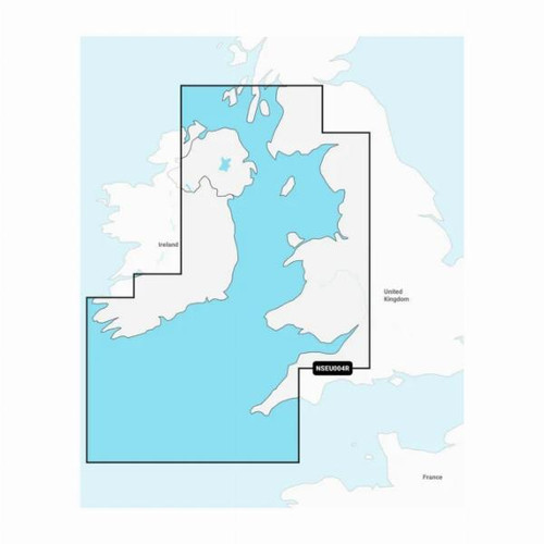
Garmin Irish Sea - Marine Charts
Garmin Irish Sea - Marine Charts Featuring vibrant colours, a streamlined interface and combined coastal/inland content with a popular Navionics® style colour palette, Garmin Navionics+ cartography makes it easy to plot your course with the...
-
Garmin
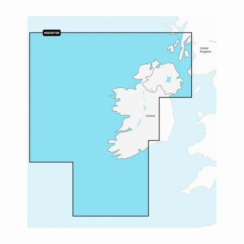
Garmin Ireland, West Coast - Marine Charts
Garmin Ireland, West Coast - Marine Charts Featuring vibrant colours, a streamlined interface and combined coastal/inland content with a popular Navionics® style colour palette, Garmin Navionics+ cartography makes it easy to plot your course with...
-
Garmin
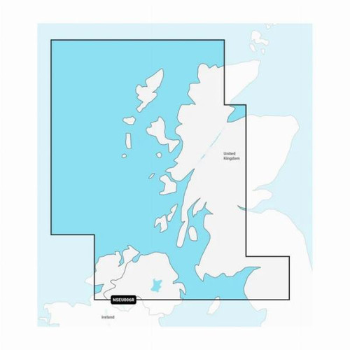
Garmin Scotland, West Coast - Marine Charts
Garmin Scotland, West Coast - Marine Charts Featuring vibrant colours, a streamlined interface and combined coastal/inland content with a popular Navionics® style colour palette, Garmin Navionics+ cartography makes it easy to plot your course with...
CHRISTMAS & NEW YEAR BUSINESS HOURS
Thank you for your continued support & partnership with The Boat Warehouse. We wish you a safe and relaxing holiday period.
Please note that orders placed after Wednesday December 11th may not arrive in time for Christmas.
The Boat Warehouse will be closed from 4:00pm on Tuesday December 24th and will re-open at 9:00am on Monday January 6th 2025.
No on-line orders will be shipped during this period.


