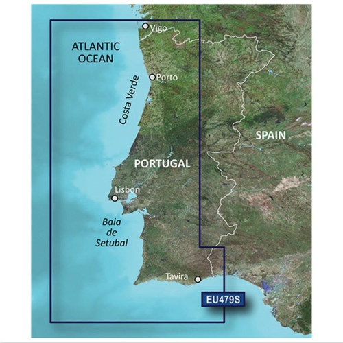
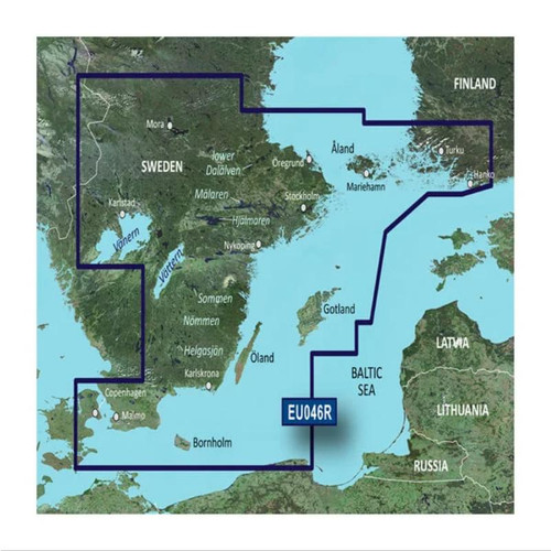
Garmin BlueChart g3 HXWW001G - Worldwide Coastal Charts
Worldwide coverage, derived from official charts and private sources to provide navigational aids, spot soundings, depth contours, tides and currents, and detailed harbours and marinas.
Shallow water shading feature allows for depth shading at user-defined level to aid in navigation. Advanced chart details help the mariner guide their boat in and out of port with confidence.
microSD™/SD™ Card Requirements
To view and use the maps on this card, you must have a device with a microSD/SD card slot. Maps on a microSD/SD card require a unit to be viewed on a computer with BaseCamp™. BaseCamp™ or HomePort™, depending on the type of map.
Reduced price map updates are not available for these cards. If you want to update the maps, you must purchase a new card that includes the latest map data.
The microSD/SD card package includes a microSD card and a SD card adapter.
Coverage
Provides coverage of the world's nautical data, including coasts, ports, canals and navigable lakes and rivers.
Garmin is not able to provide nautical charts for Japan due to data licensing limitations.
| Part Number | Coverage | Format |
|---|---|---|
| GMN-010-C1137-20 | WORLDWIDE | microSD™/SD™ CARD |


