Garmin's Premier Coastal charts
- Industry-leading coverage, clarity and detail with updated coastal charts that feature integrated Garmin and Navionics® content
- Auto Guidance¹ technology quickly calculates a suggested route by using your desired depth and overhead clearance
- Includes Depth Range Shading for up to 10 depth ranges, enabling you to view your target depth at a glance
- Up to 1’ contours provide a more accurate depiction of the bottom structure for improved fishing charts
- To give a clear picture of shallow waters to avoid, the Shallow Water Shading allows for shading at a user-defined depth
Experience unparalleled coverage and brilliant detail when you’re on the water. BlueChart g3 Vision coastal charts provide industry-leading coverage, clarity and detail with integrated Garmin and Navionics content
Features:
Auto Guidance
Auto Guidance technology quickly calculates a suggested route using your boat's dimensions and a suggested path to follow.
High Resolution Relief Shading
This exceptional shading feature combines color and shadow to give you an easy-to-interpret view of bottom profile, making it easy to find artificial reefs, underwater shelves and more. High-resolution relief shading is available as a free downloadable feature via the ActiveCaptain® app.
Depth Range Shading
Displays high-resolution Depth Range Shading for up to 10 depth ranges so you can view your designated target depth.
Detailed Contours
BlueChart g2 Vision HD features 1-foot contours that provide a more accurate depiction of bottom structure for improved fishing charts and enhanced detail in swamps, canals and port plans.
MarinerEye View
Provides a 3-D representation of the ocean floor as seen from below the waterline.
FishEye View
Provides a 3-D representation of the surrounding area both above and below the waterline.
High-resolution Satellite Imagery
High-resolution satellite imagery with navigational charts overlaid gives you a realistic view of your surroundings so you can navigate with a clear moving-chart representation of your boat’s position. It’s our most realistic charting display in a chartplotter.
Aerial Photography
Crystal clear aerial photography shows exceptional detail of many ports, harbors and marinas and is ideal when entering unfamiliar ports.
Requirements:
Download Requirements
File Information
The file size of this download and space required on your microSD™/SD™ card is 0 MB. It is not recommended that this download be loaded directly to your device. It only can be loaded to a prepared or blank microSD/SD card (recycled microSD cards may be used to program map data).
Up to 500 MB of additional space may be required for software updates. View Details
microSD™/SD™ Requirements View Details
Coverage:
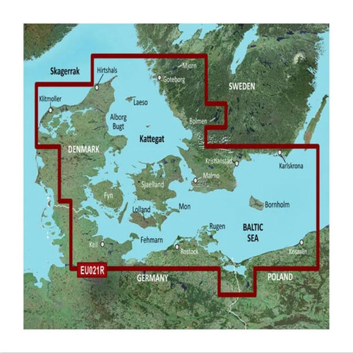
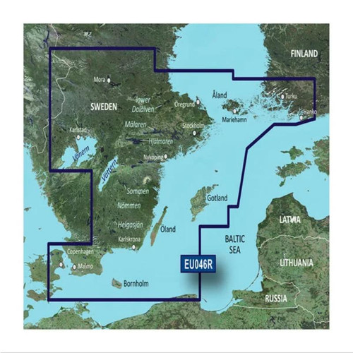
Coverage of the Baltic Sea coasts of Poland, Russia, Lithuania, Latvia and Estonia from Rügen, from the German border to Narva-Jõesuu, EE and the lakes and rivers of Poland, Belarus and the Baltic States. Coverage includes the entire Gulf of Riga, the Szczecin, Vistula and Kurshskiy Lagoons, the ports of Tallinn, Riga, Gydnia, Gdansk and Kaliningrad, the islands of Bornholm, Gotland, Saaremaa, Hiiumaa, the Oder, Vistula, Bug, Neman, Emajõgi and Daugava Rivers, Lakes Peipus, Pihkva and Vörtsjäve, the Masurian District Lakes including Lake Jeziorak, Lake Łańskie and Lake Śniardwy and Lakes Snudy/Strusto, Miastra, Batorino, Lukomshoye and Selyava in Belarus
| Part Number | Map Number | Format |
|---|---|---|
| GMN-010-C0849-00 | VEU505S | SD Card |


